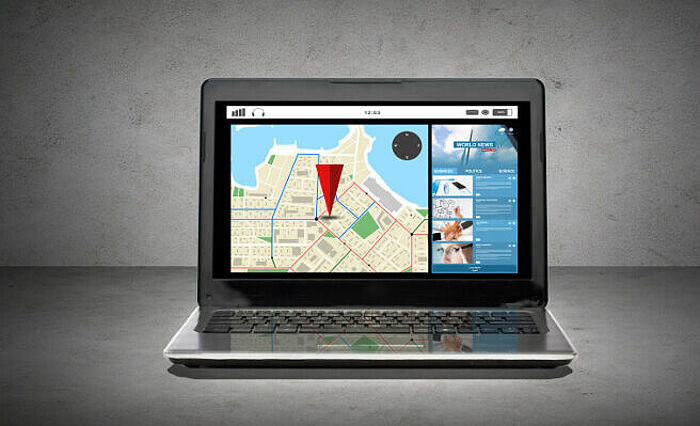
Geographical Information System (GIS)
Powerful tools for processing, analysing and displaying spatial data.

![[Translate to English:] Startseite-Box-GIS](/fileadmin/_processed_/0/0/csm_Startseite-Box-GIS_639c0d0110.jpg)
Powerful tools for processing, analysing and displaying spatial data.

We rely on open source software in order to offer our clients the greatest possible freedom in the application, distribution and adaptation of software.

We not only implement OGC, INSPIRE and GDI.DE standards, but also have a significant amount of influence upon them on behalf of our clients.

As the sheer amount of data and its complexity is constantly increasing, so does the need for useful tools to obtain up-to-date factual information.
Here at WhereGroup, our team possess the know-how and technology to visualise data files in their spatial dimensions in a clear and understandable way, whether this be for desktop, intranet or Internet applications.
Thus, data is turned into maps, and numbers into real information. Geographic maps are not just images of the Earth's surface - they can do a lot more!

We are an agile, medium-sized company. In the past few years, our team has grown steadily and we are always looking for really capable people.

Our core competences are high-quality and sophisticated services in the field of spatial data processing, geographic information systems and databases based on open source software.

Our products cover the entire range of modern, web-based geographical information systems. These include standards compliant map clients, metadata systems, and mobile GIS.

The FOSS Academy, which is our very own in-house training institute, offers a comprehensive, practice-oriented training program for web-based geographical information systems based on open source software.

The open source concept forms the foundation of all our work. As part of a thriving community - with whom we are in close cooperation - we are involved in FOSSGIS e. V. and OSGeo.

Would you like to be regularly kept up to date with latest projects our company is currently involved in? Would you like to receive helpful tips & tricks about open source software and the latest news from the industry? Then simply subscribe to our newsletter